Walking Guides and Maps
-
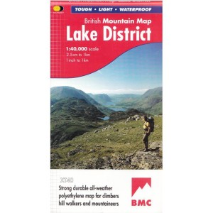 £18.50Incl. 0% TaxLAKE DISTRICT BMC MAP Learn More
 -

-

-
 £17.95Incl. 0% TaxOFFAS DYKE PATH Learn More
 -
 £17.95Incl. 0% Tax
A handy guide to walking the Coast to Coast long-distance route all the way from St Bees Head in Cumbria to Robin Hood's Bay in Yorkshire. At 190 miles (300km), this popular long-distance route can be walked in 2 weeks (or you can tackle it in sections - see Tom's Blog). Come complete with clear route description, maps, trek planner and accommodation guide. A separate 1:25,000 map booklet is included with the guidebook.
Learn More -
-
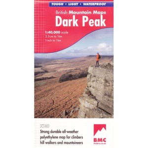
 £16.99Incl. 0% Tax
This is a laminated and waterproof Ordnance Survey Outdoor Leisure /Explorer 1:25,000 map of OL1 The Peak District: Dark Peak area (Kinder Scout, Bleaklow, Black Hill & Ladybower Reservoir, showing part of the National Park( with a mobile download.
Learn More -
 £16.99Incl. 0% TaxOL21 SOUTH PENNINES: OS ACTIVE Learn More
 -
 £16.99Incl. 0% TaxA laminated and waterproof Ordnance Survey Outdoor Leisure /Explorer 1:25,000 map of OL31 North Pennines, with a free mobile download. Learn More
 -
 £16.99Incl. 0% TaxLR119 BUXTON: OS ACTIVE Learn More