Walking Guides and Maps
-
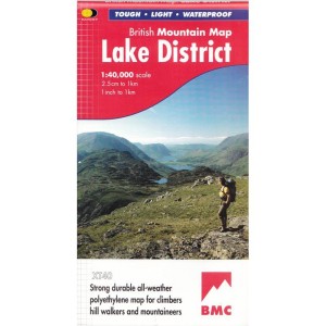
 £18.50Incl. 0% TaxLAKE DISTRICT BMC MAP Learn More
 -
 £17.95Incl. 0% TaxOFFAS DYKE PATH Learn More
 -

-
 £16.99Incl. 0% Tax
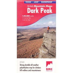
This is a laminated and waterproof Ordnance Survey Outdoor Leisure /Explorer 1:25,000 map of OL1 The Peak District: Dark Peak area (Kinder Scout, Bleaklow, Black Hill & Ladybower Reservoir, showing part of the National Park( with a mobile download.
Learn More -
 £16.99Incl. 0% TaxOL21 SOUTH PENNINES: OS ACTIVE Learn More
 -
 £16.99Incl. 0% TaxA laminated and waterproof Ordnance Survey Outdoor Leisure /Explorer 1:25,000 map of OL31 North Pennines, with a free mobile download. Learn More
 -
 £16.99Incl. 0% TaxLR119 BUXTON: OS ACTIVE Learn More
 -
 £16.99Incl. 0% TaxLR110 SHEFFIELD: OS ACTIVE Learn More
 -
 £16.95Incl. 0% TaxTHE CLEVELAND WAY & YWW Learn More
 -


